Maps

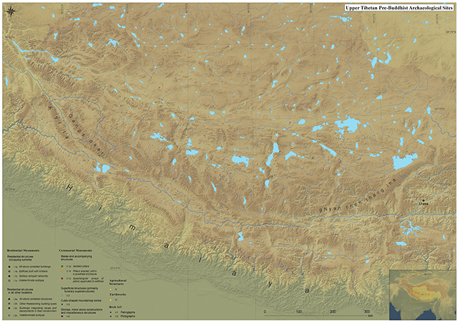
Upper Tibet pre-Buddhist archaeological sites documented by the author, 1992 – 2010.
Click map image to download high-resolution PDF (16.2 MB)

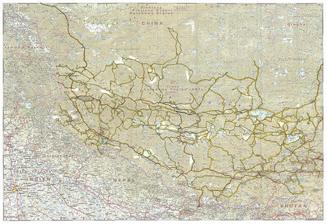
Author’s routes in Upper & Central Tibet, 1986 – 2012.
Vehicular, on foot and on horseback.
Click map image to download high-resolution PDF (24.6 MB)

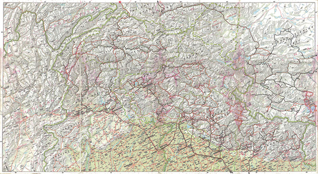
Author’s routes in the Western Himalaya, 1983 – 2001.
Black line = vehicular route. Red line = on foot route.
Click map image to download high-resolution PDF (17.1 MB)

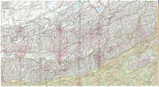
Author’s routes in Upper & Central Tibet, 1986 – 2001.
Black line = vehicular route. Red line = on foot route.
Click map image to download high-resolution PDF (25.1 MB)